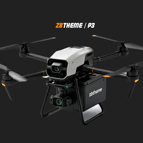
The UAV adopts a drop-resistant and durable body material, which is suitable for harsh outdoor...
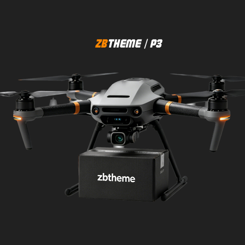
The UAV adopts a drop-resistant and durable body material, which is suitable for harsh outdoor...
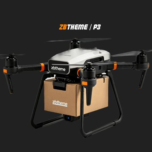
The UAV adopts a drop-resistant and durable body material, which is suitable for harsh outdoor...
The UAV adopts a drop-resistant and durable body material, which is suitable for harsh outdoor...
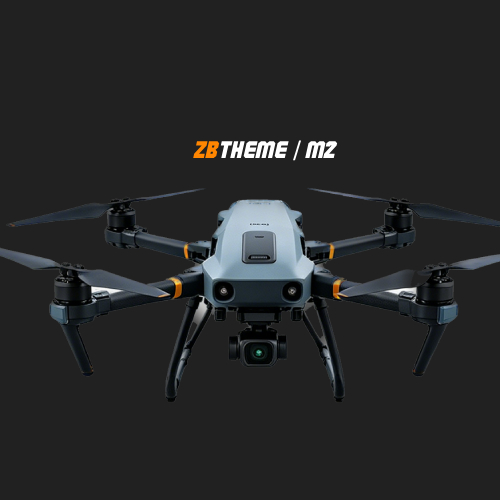
The UAV adopts a drop-resistant and durable body material, which is suitable for harsh outdoor...
The UAV adopts a drop-resistant and durable body material, which is suitable for harsh outdoor...
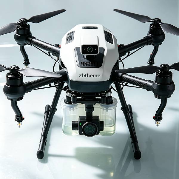
Provide customized aerial data closed loop for different operating environments
Automated route planning reduces the risks associated with manual climbing by 80%.
SafetyRapid Deployment, Providing Real-Time Thermal Imaging for Emergency Response.
SafetyRapid Deployment, Providing Real-Time Thermal Imaging for Emergency Response.
SafetyRapid Deployment, Providing Real-Time Thermal Imaging for Emergency Response.
Microsoft has once again postponed the release of Windows 10X, raising concerns and discussions across the tech industry about the company’s strategy for next-generation operating systems.
Read more →Executive managers analyzing papers with marketing statistics discussing company strategy while working at business collaboration in brick wall startup office.
NVIDIA’s annual GTC conference has evolved far beyond a GPU technology event. It has become one of the most influential gatherings for AI developers and technology innovators worldwide.
Recently, Google DeepMind introduced
Our technical experts will provide you with customized drone solutions, including flight testing, data system integration, and industry application deployment.